Heavy Lift Drones
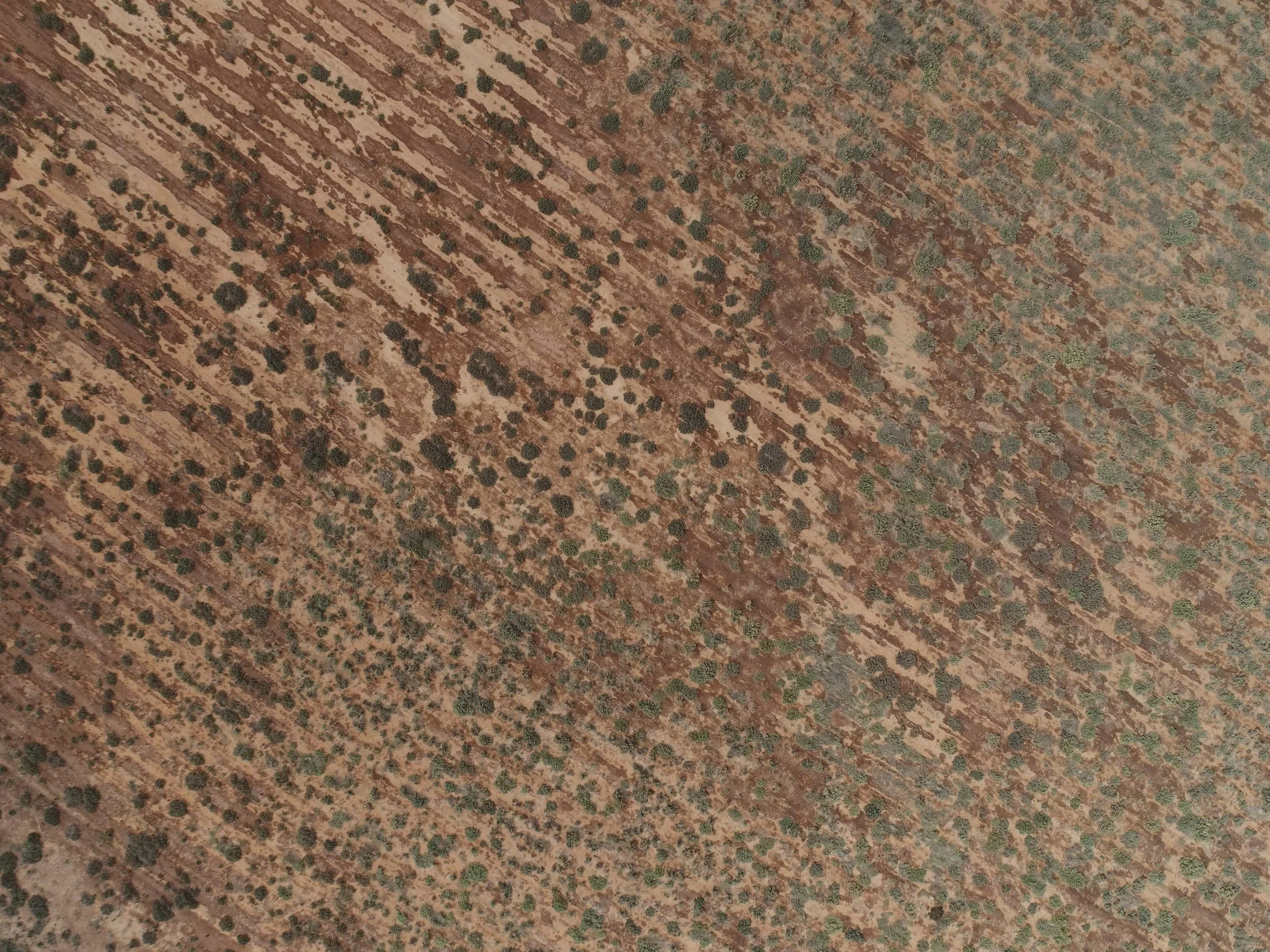
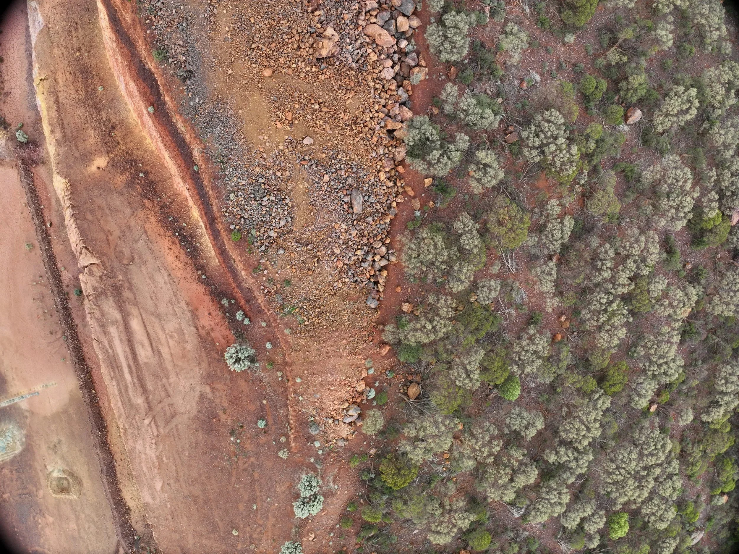
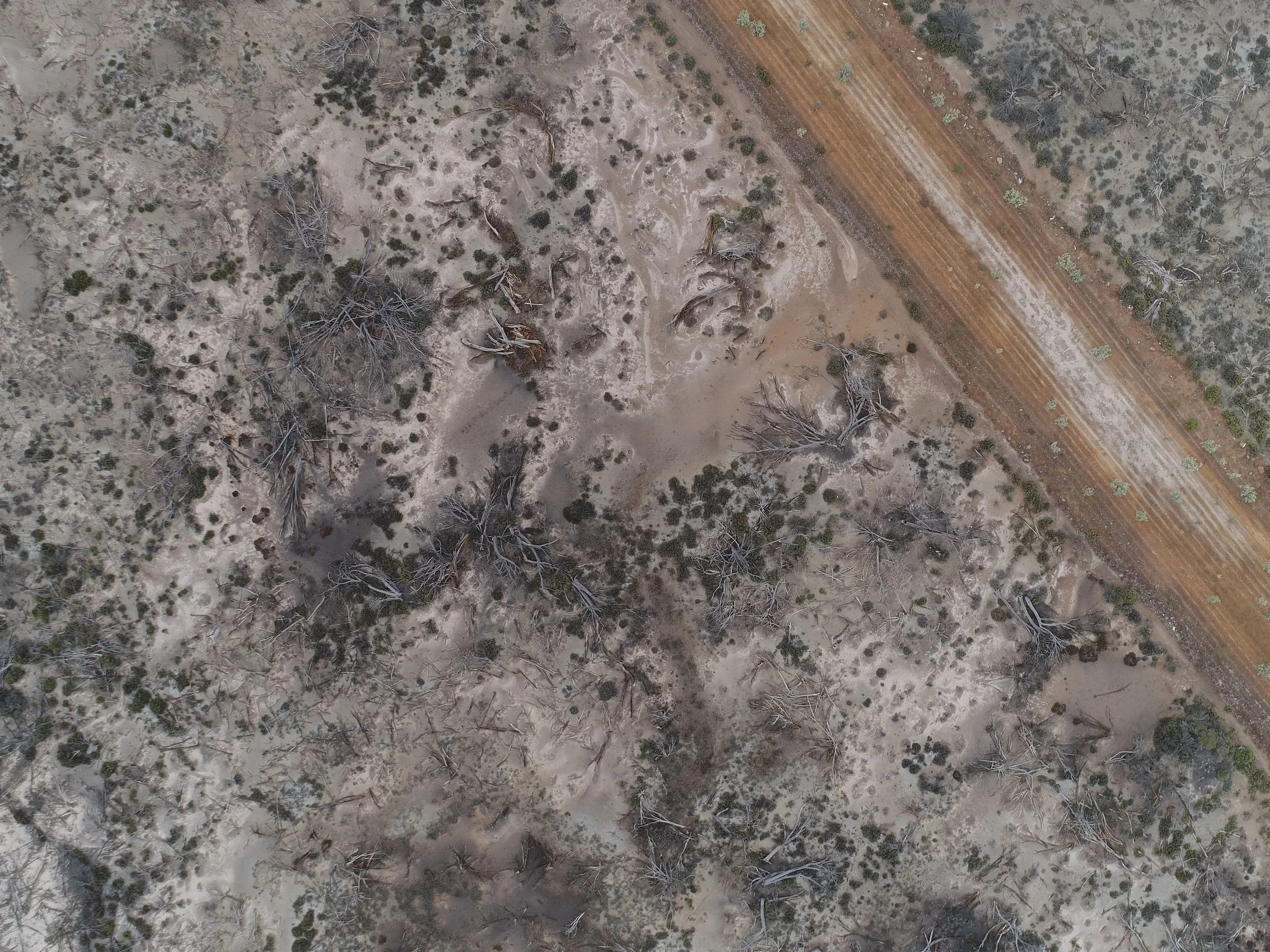
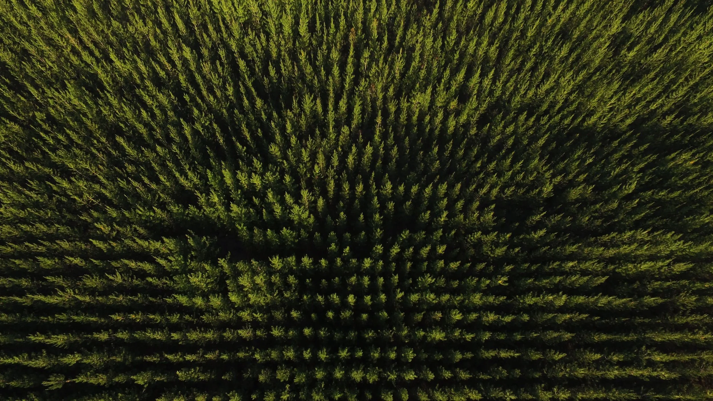
UAV Mapping and Vegetation Monitoring
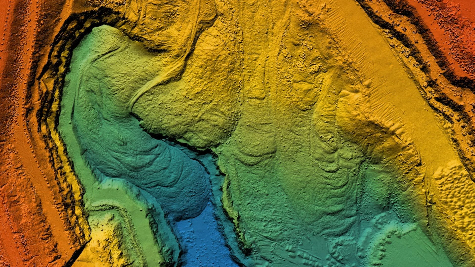
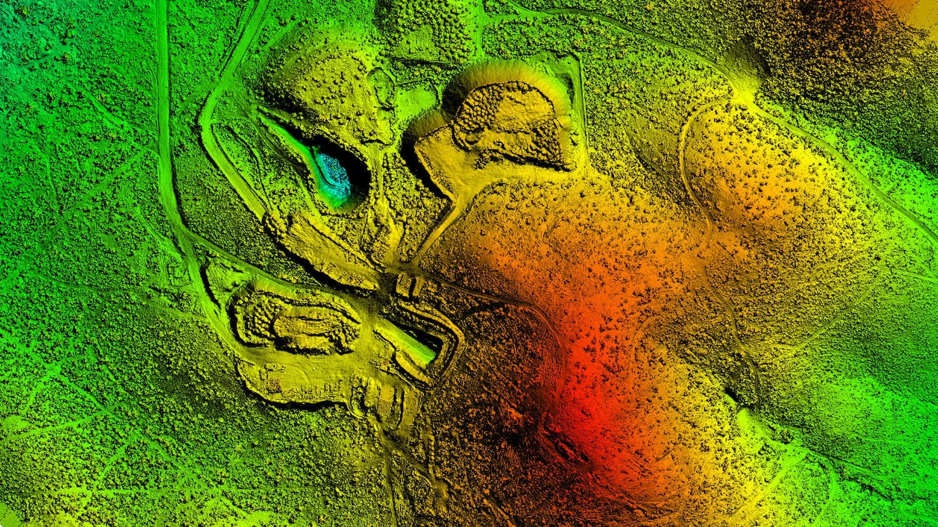
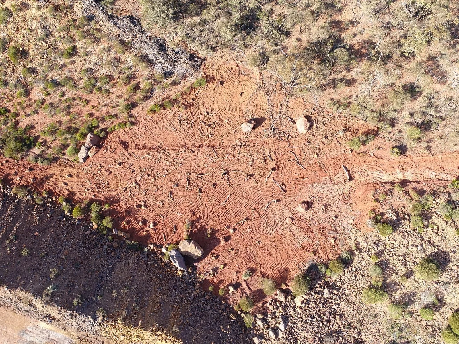
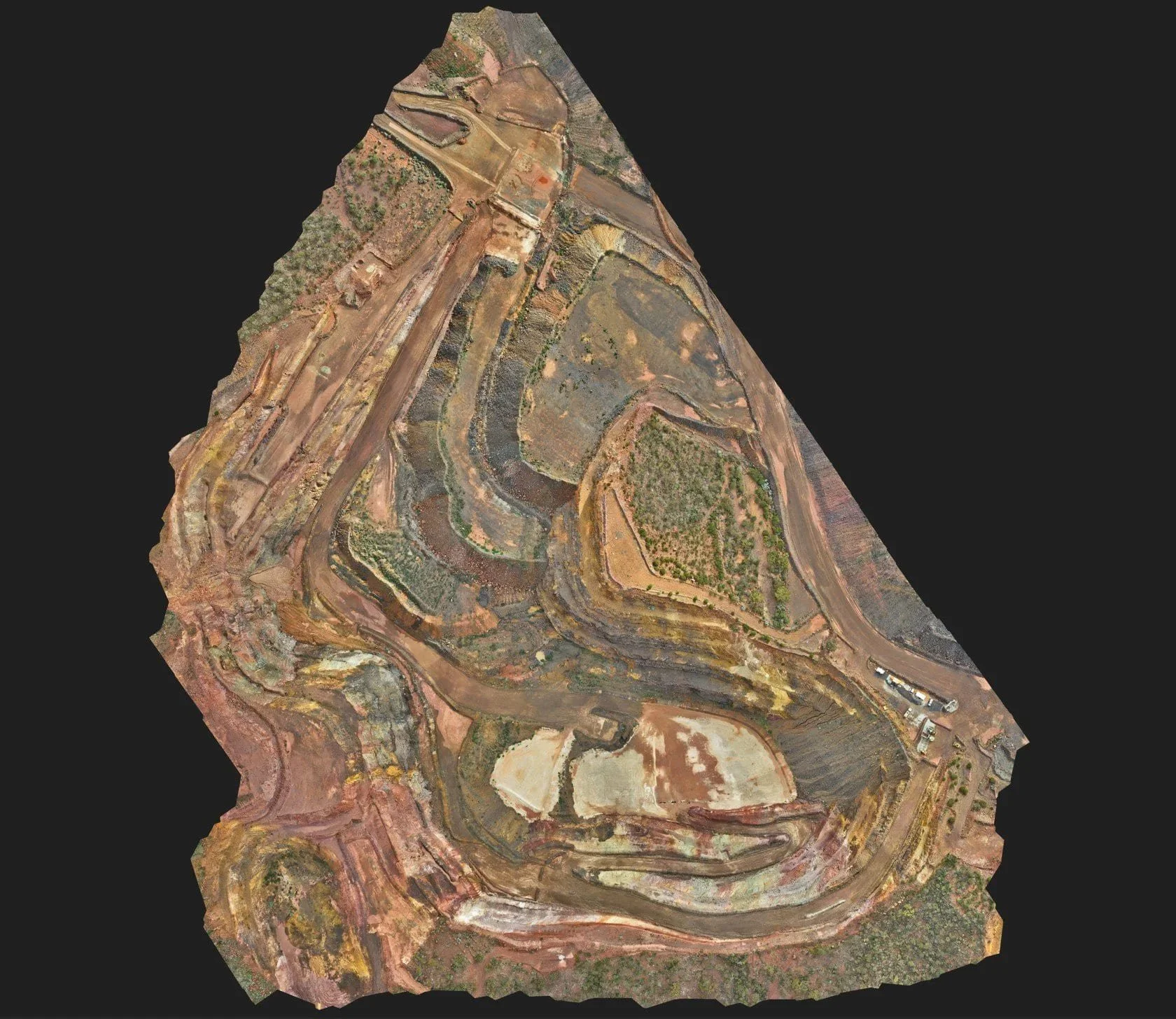
Our advanced UAV services combine cutting edge drone technology with expert analysis to provide comprehensive aerial mapping and vegetation monitoring solutions. We capture high resolution imagery and multispectral data to accurately map terrain, identify vegetation health, and track environmental changes over time. These insights enable mining and construction operations to monitor site conditions, plan rehabilitation strategies, ensure regulatory compliance, and make data driven decisions. Fast, precise, and minimally invasive, our UAV surveys deliver actionable information while reducing the need for extensive on-ground assessments, saving time, resources, and minimizing environmental impact.

Gallery