Precision Aerial Seeding
Precision Aerial Seeding
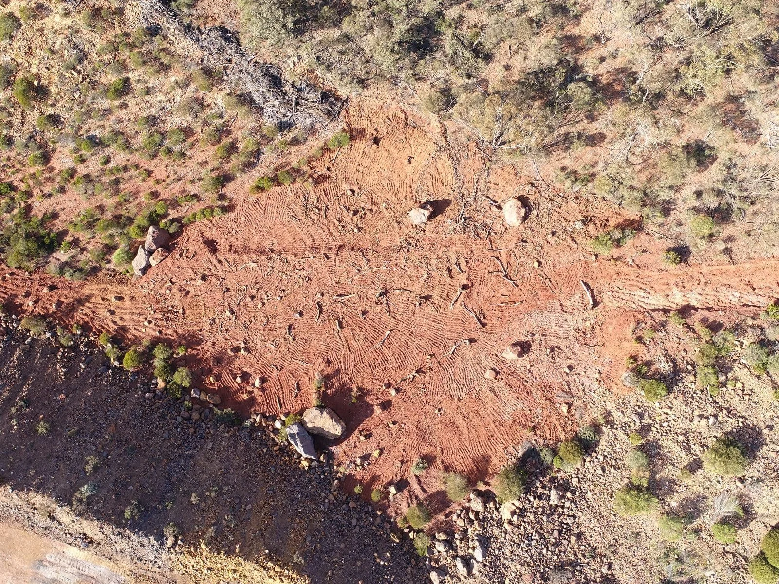
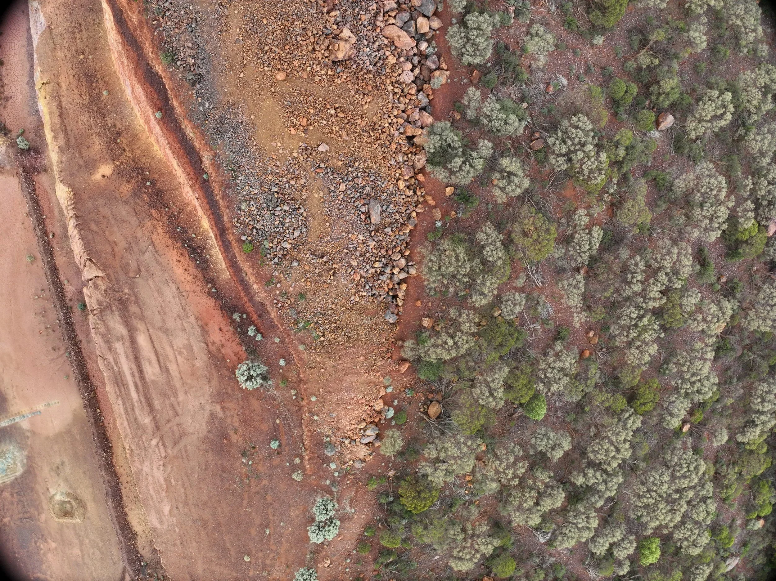
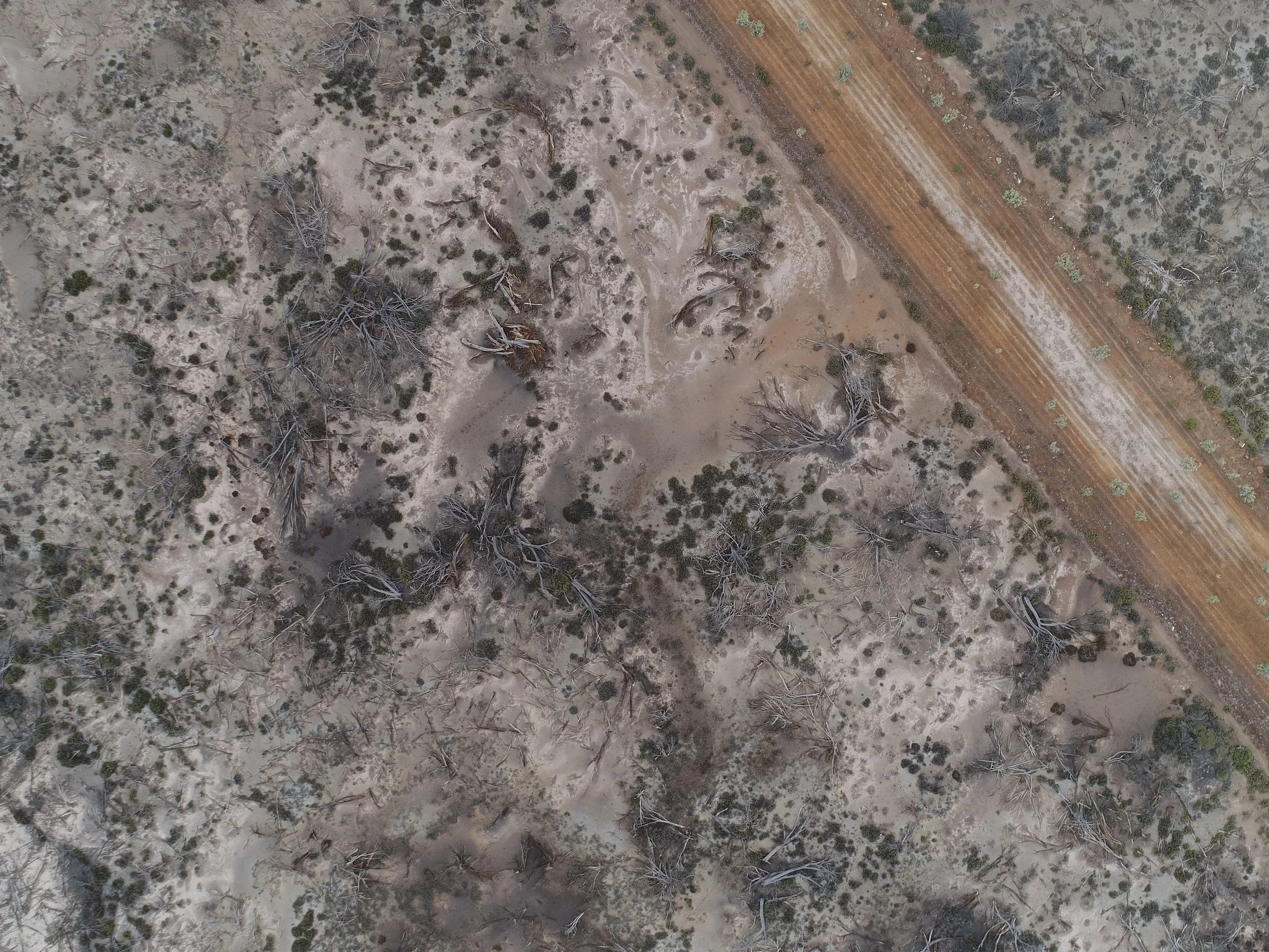
We deliver Precise Aerial Seeding solutions designed to accelerate revegetation across challenging landscapes. Using advanced drone technology, our team applies seed and essential soil amendments with pinpoint accuracy, ensuring uniform coverage even in areas that are steep, unstable, or inaccessible by conventional machinery.
This approach not only increases efficiency and germination success but also removes the need to place workers in high-risk environments, significantly improving site safety. Aerial seeding is ideal for large-scale rehabilitation projects, offering cost-effective coverage with minimal ground disturbance.

Types of Feeders
-
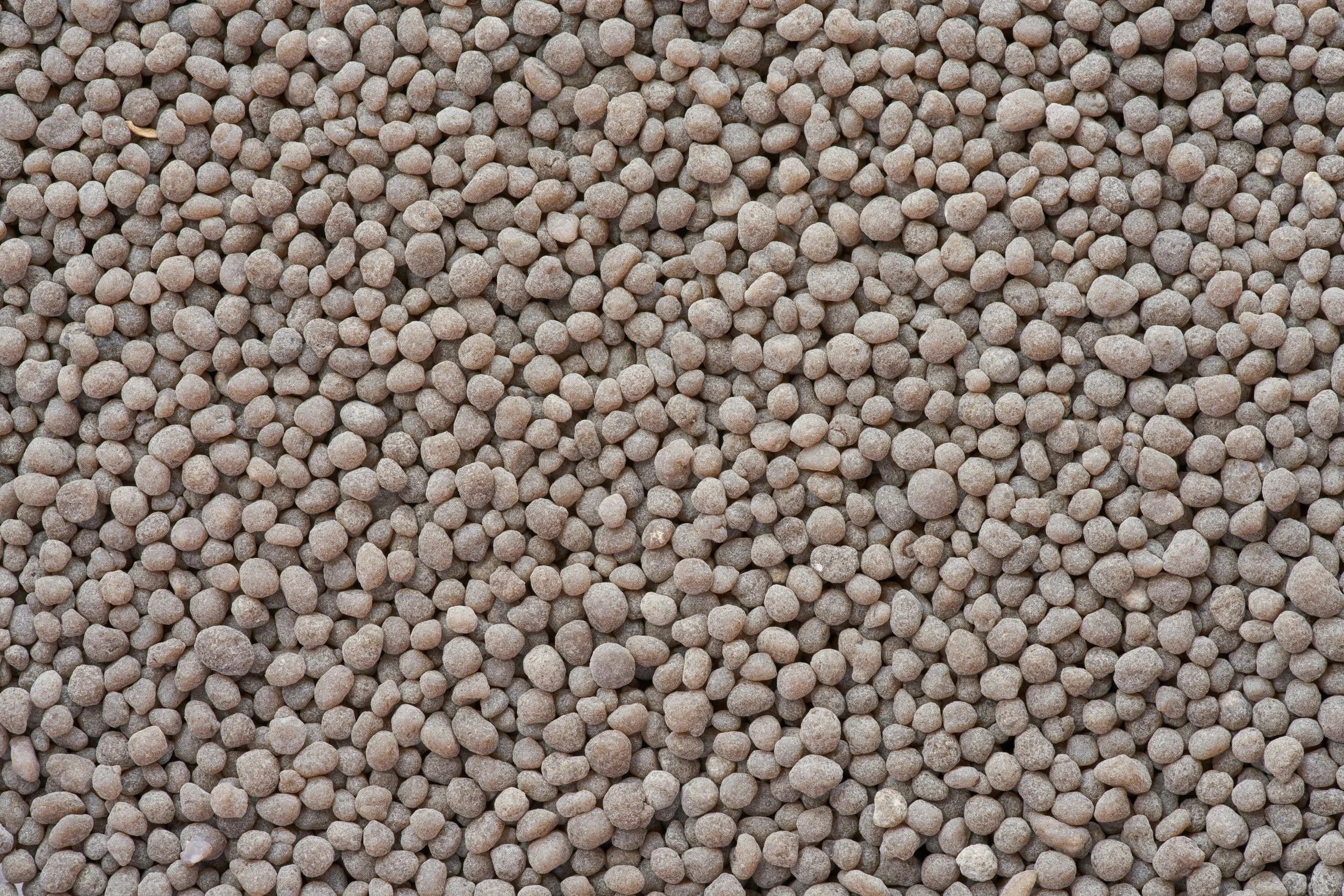
Extra Large Feeder
Suitable for granulars such as fertilizers, wheat seeds, granular fungicides, feed.
-
Large Feeder
Suitable for granulars such as rice seeds, cover crop seeds.
-
Medium Feeder
Suitable for granulars such as rice seeds.
-
Small Feeder
Suitable for granulars such as rapeseed, granular herbicides, grass seeds, granular insecticides.
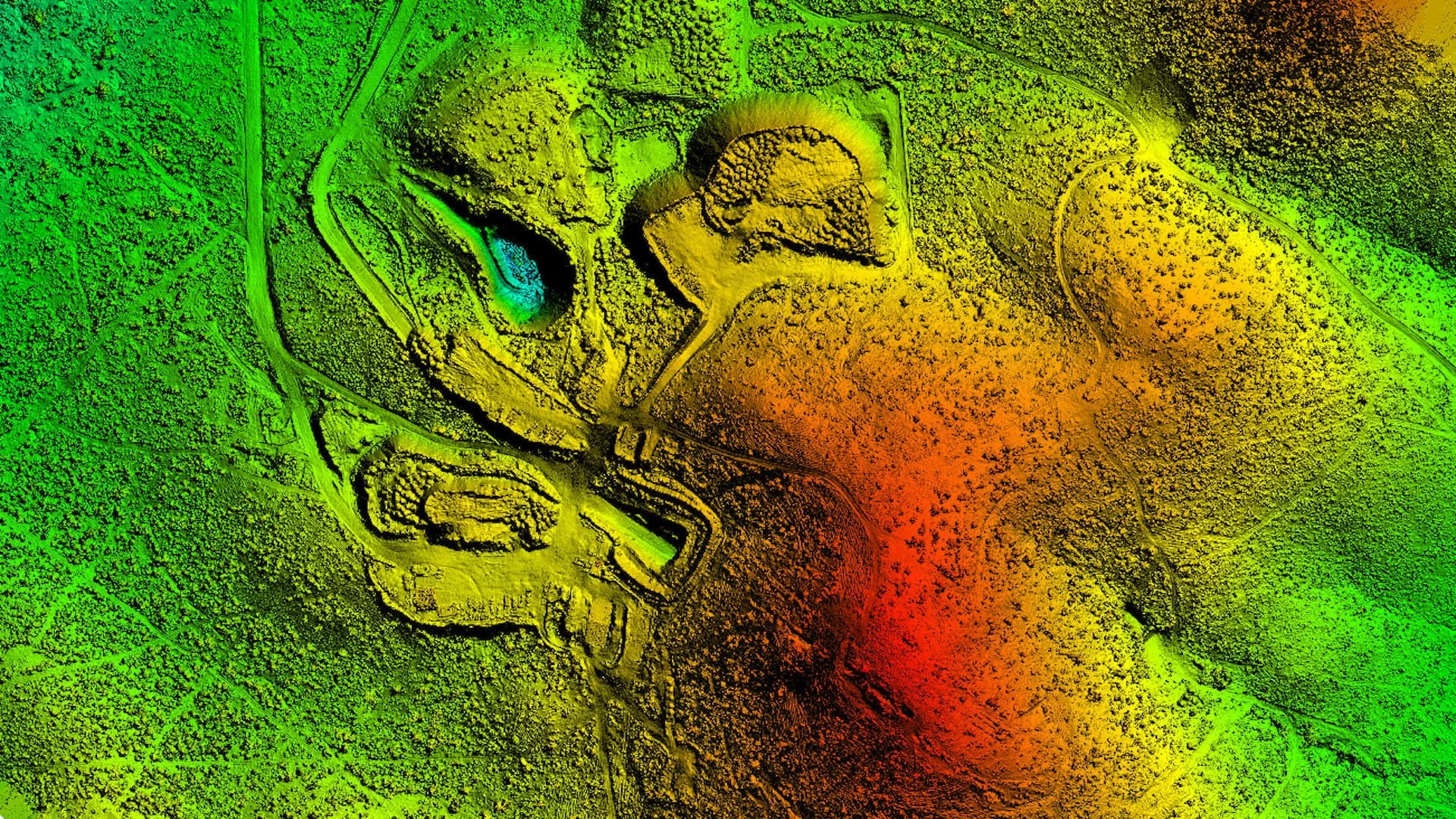
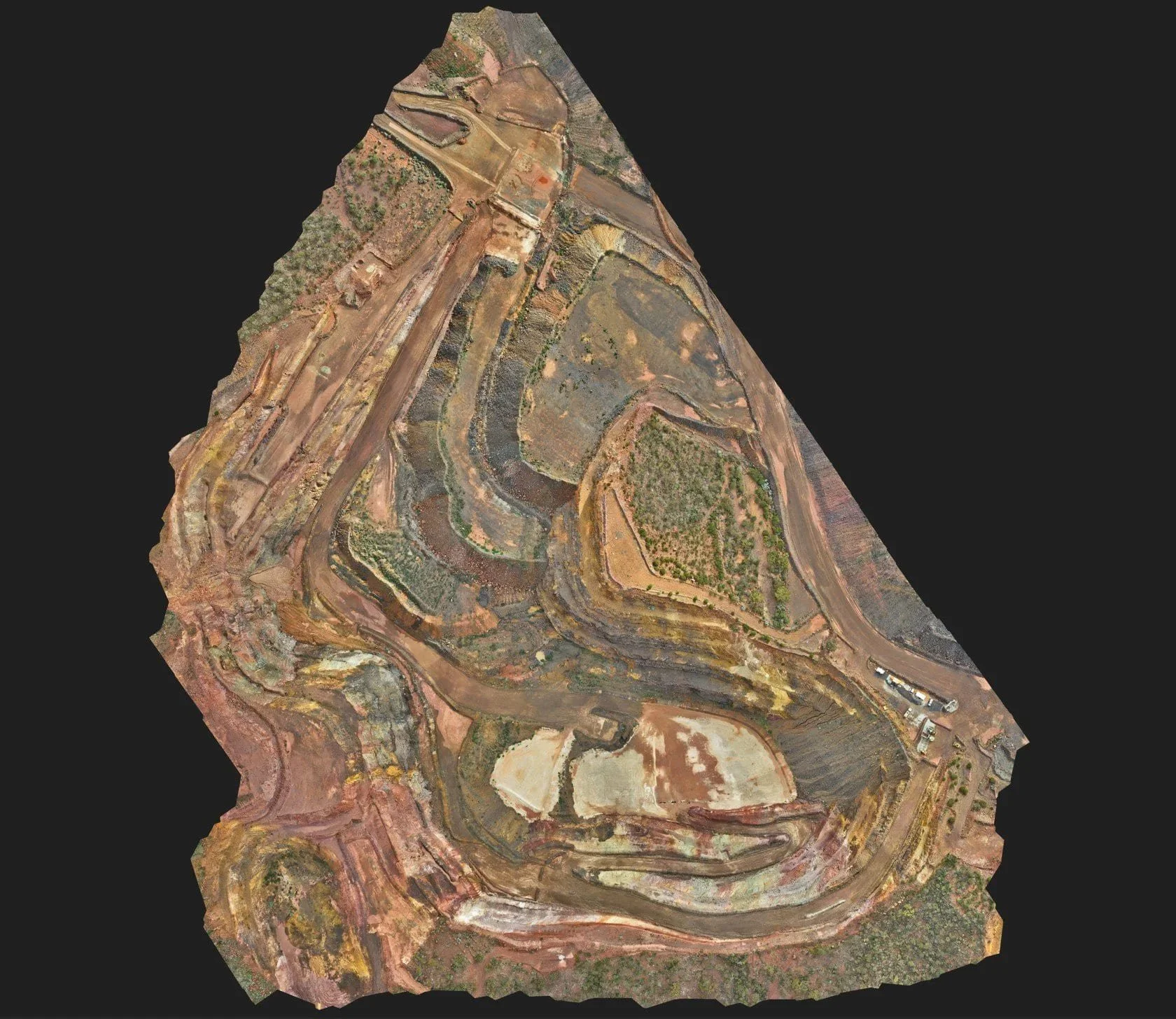
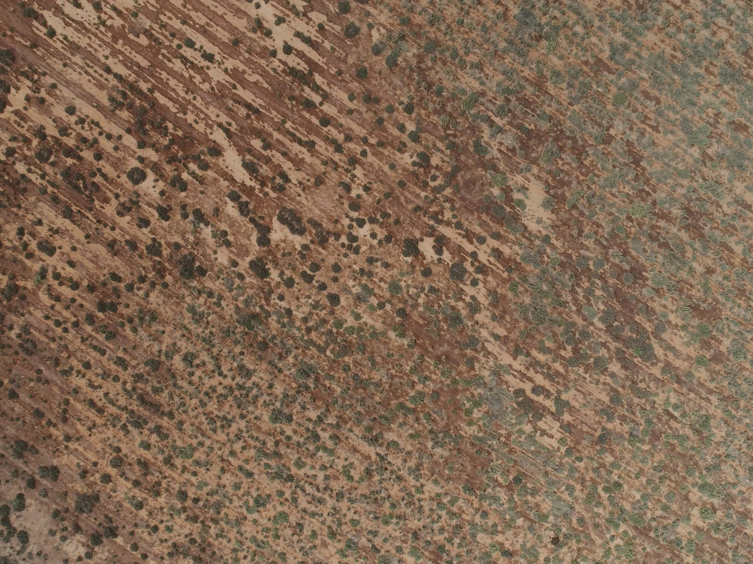
Gallery