From Sky VIZ to Green Mines Australia: My Journey in Drones, Civil Works, and Mining Rehabilitation
Sky VIZ — The Drone Beginnings
Before I was managing large scale civil works, I was flying cameras. I launched Sky VIZ, my original aerial photography business, to capture the bigger picture from above first for progress imagery and storytelling, then increasingly for practical site insights. Those early flights taught me two lasting lessons, aerial views change how teams understand a site and drones only matter when their output helps make better decisions.


WA Eco Plant (2014 Onwards) — Innovation in Groundcover & Rehabilitation
In 2014, I joined WA Eco Plant and worked my way up to become Operations Manager for all our precision works across Western Australia. At WA Eco Plant we specialised in innovative groundcover and land rehabilitation systems backed by fit for purpose plant and disciplined delivery. Our work included:
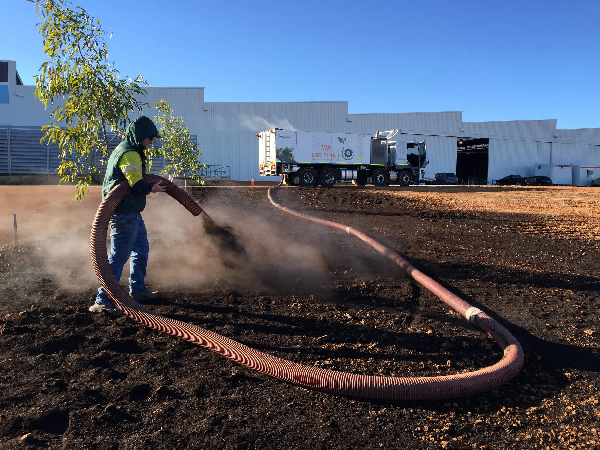
BlowaMulch®: High capacity, high reach blower application of mulch, bark and soils for fast, safe installation even on rooftops, steep batters and tight access.
Ecoblanket®: A one pass compost blanket with seed incorporated during application immediate erosion control, rapid cover and minimal ongoing attention.
BactivateMethod®: Beneficial soil microbiology to improve poor or stripped soils, often removing the need to replace topsoil.
Supply & install of mulches/soil enhancers: Black Garden Mulch Duro & Fine, Natural Fine, White Wood Chip, Pine Bark, certified Soft Fall, plus landscaping, turf treatments, dust suppression and land stabilisation and civil site prep.
That period grounded me in safety, QA/QC, logistics and execution. It pushed my drone work beyond nice images into useful metrics orthophotos, 3D surfaces Models and site evidence that closes loops with crews and clients.


ACPH — 6 Years Scaling Mining & Civil Delivery (and Levelling Up Drones)
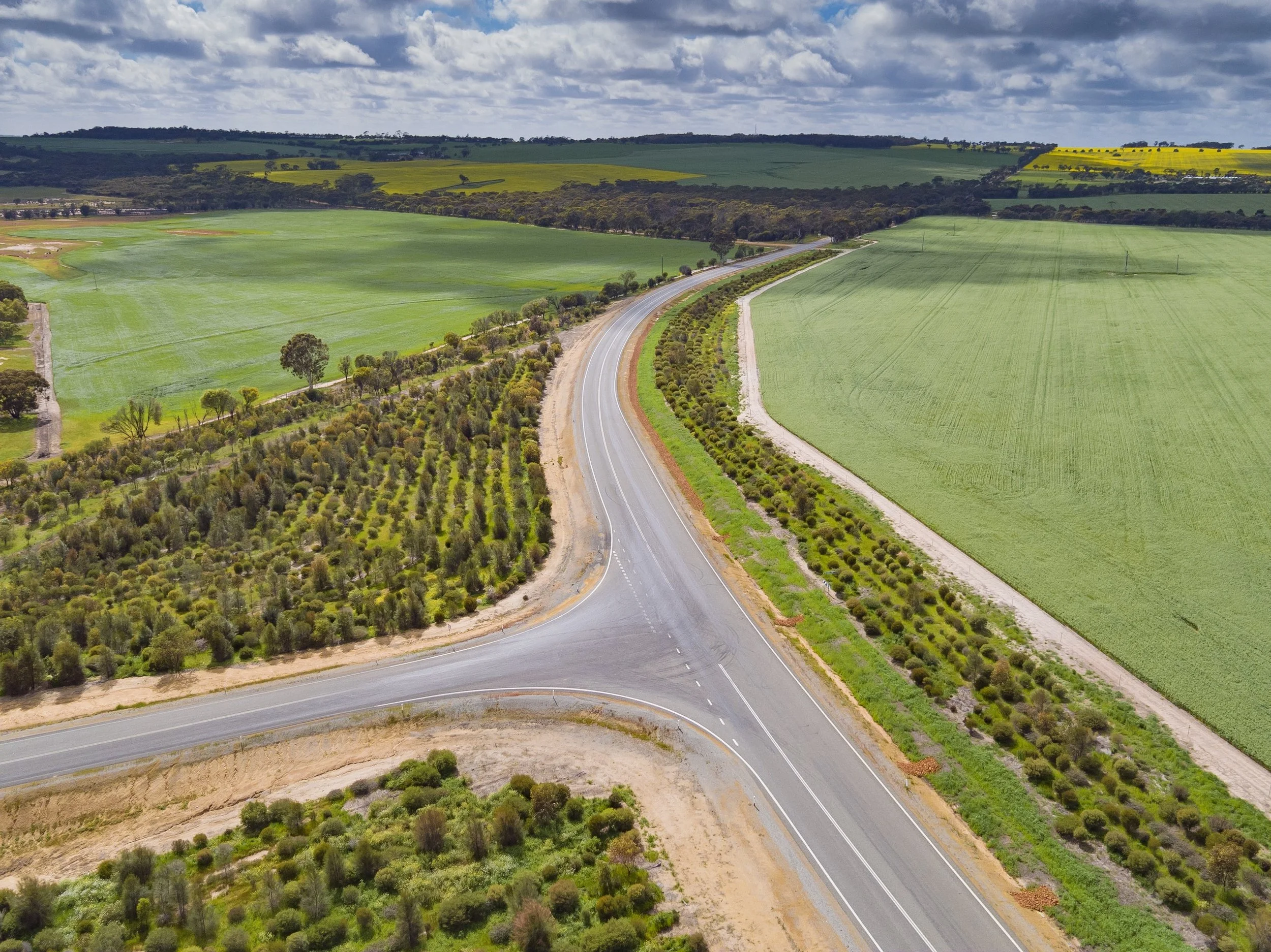
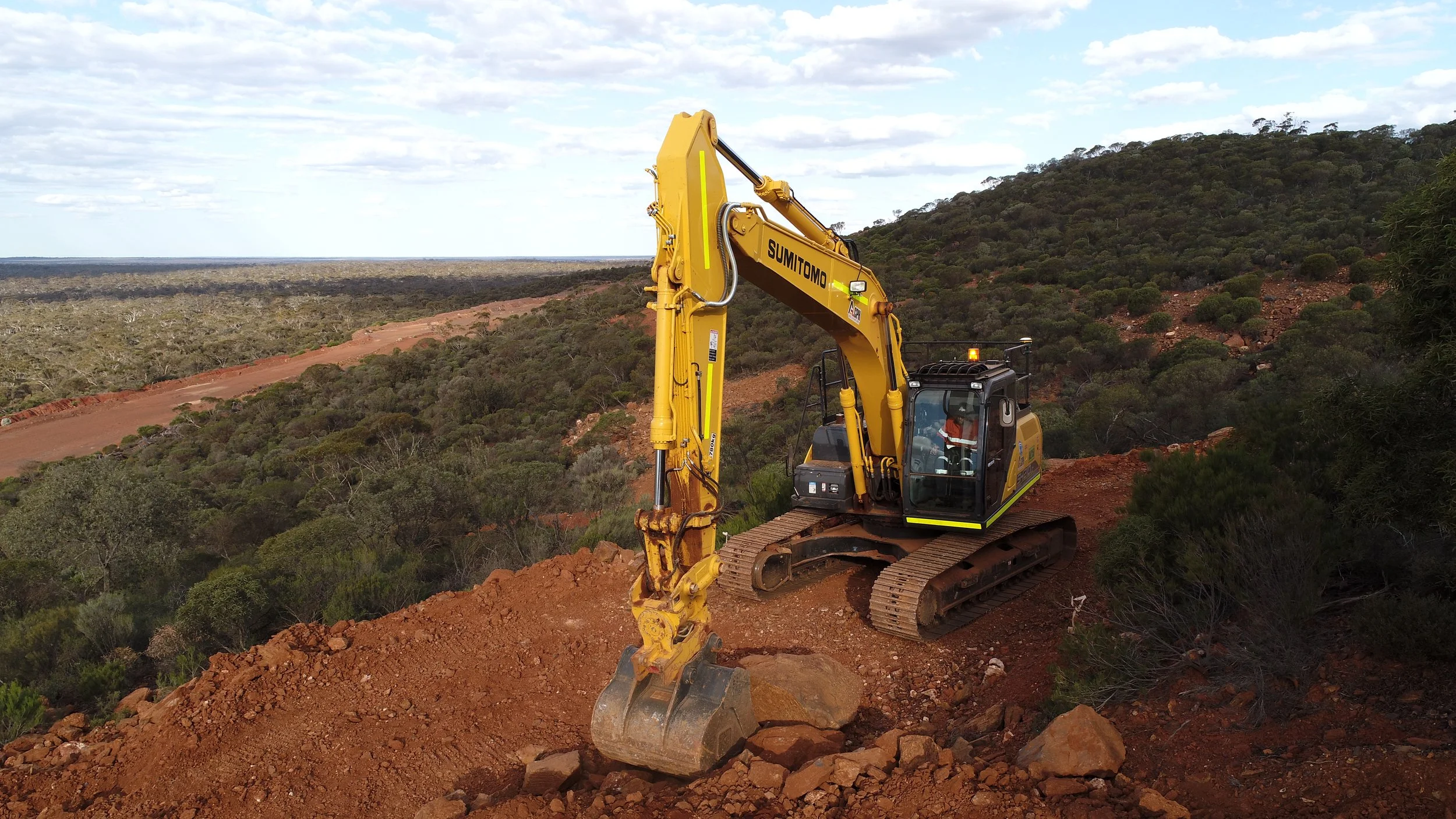
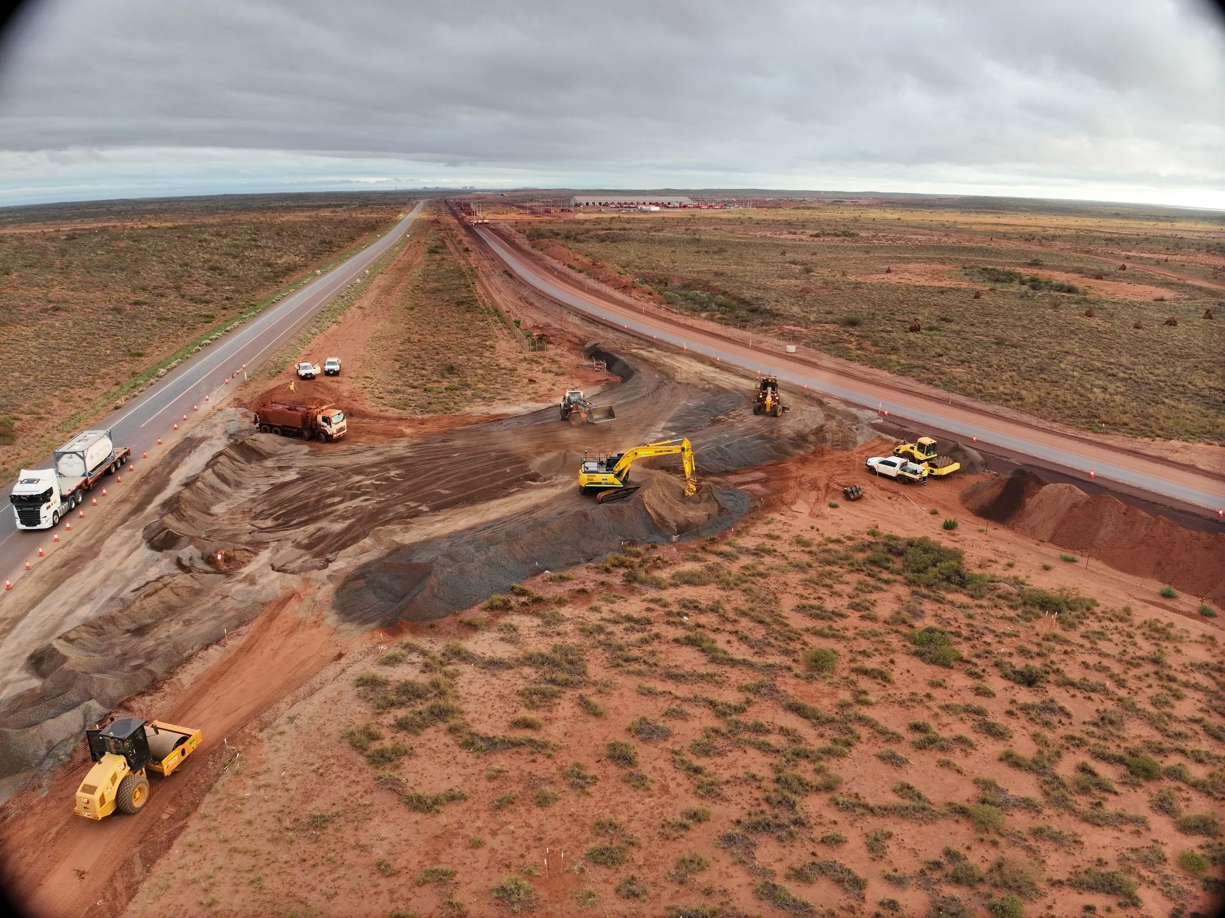
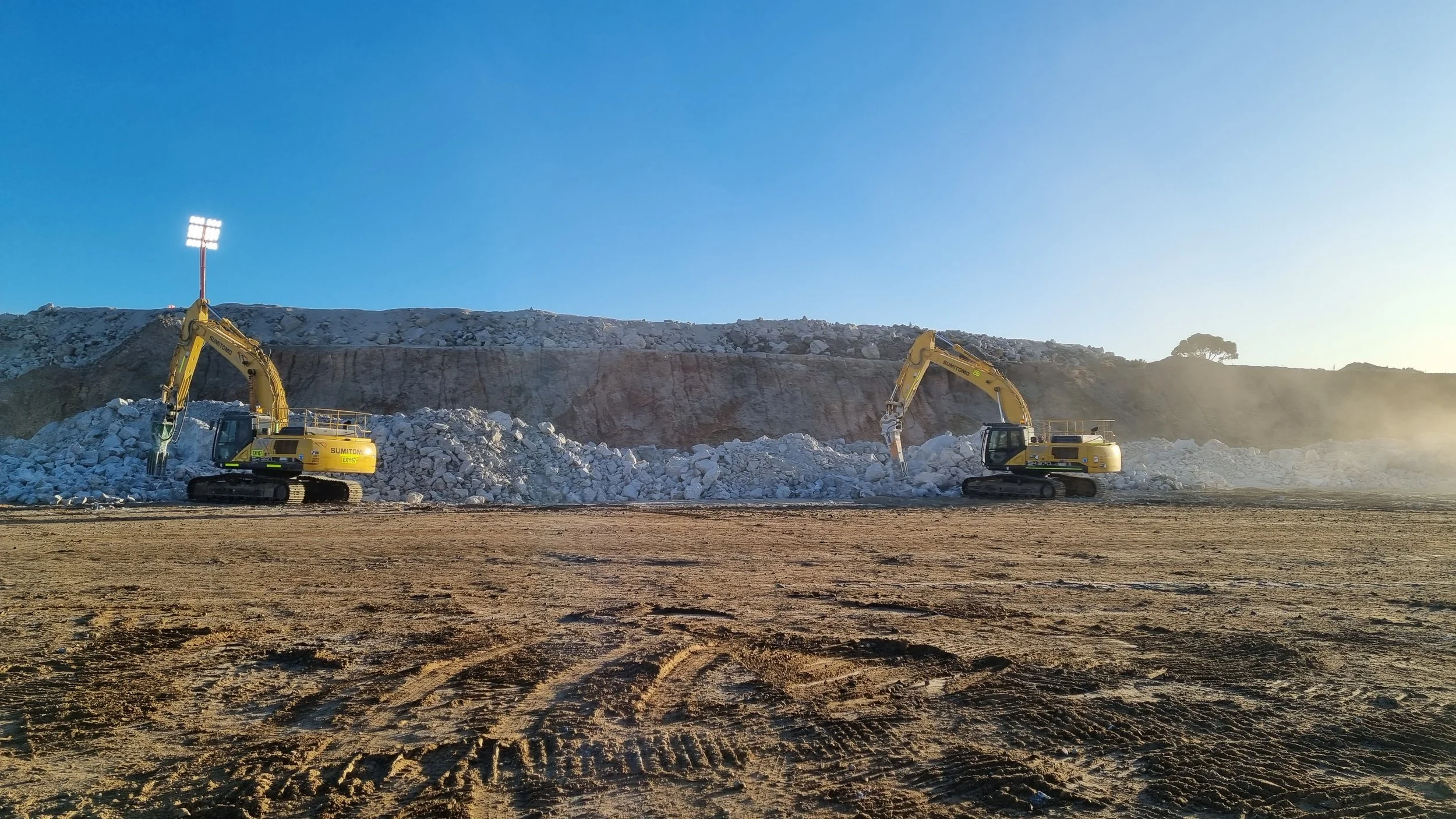
After Eco Plant, I spent 6 years at Amalgamated Civil & Plant Hire and I'm still here today as Managing Director ACPH. The mandate was bigger fleets, harder sites and tighter QA. I focused on systemizing operations and integrating technology bringing drone capture into everyday workflows for planning, verification and reporting across earthworks, pads, drainage and corridor jobs. The aim was simple: make data part of how the job runs, not an afterthought.


Green Mines Australia (Late 2025)
Precision for Rehabilitation in Collie, Western Australia
In late 2025, I founded Green Mines Australia to bring everything together: UAV data, precision application and hands on mining rehabilitation expertise right here in Collie, Western Australia. Our approach is built on:
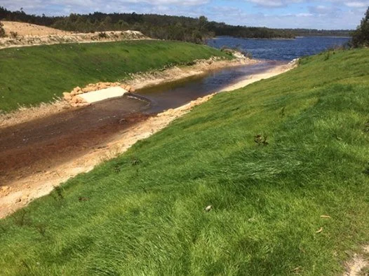
Aerial survey & mapping: We deliver orthophotos, terrain models, point clouds and LiDAR where required providing accurate data for haul roads, stockpiles, drainage and compliance evidence across mining and civil projects in Collie and the greater Southwest region.
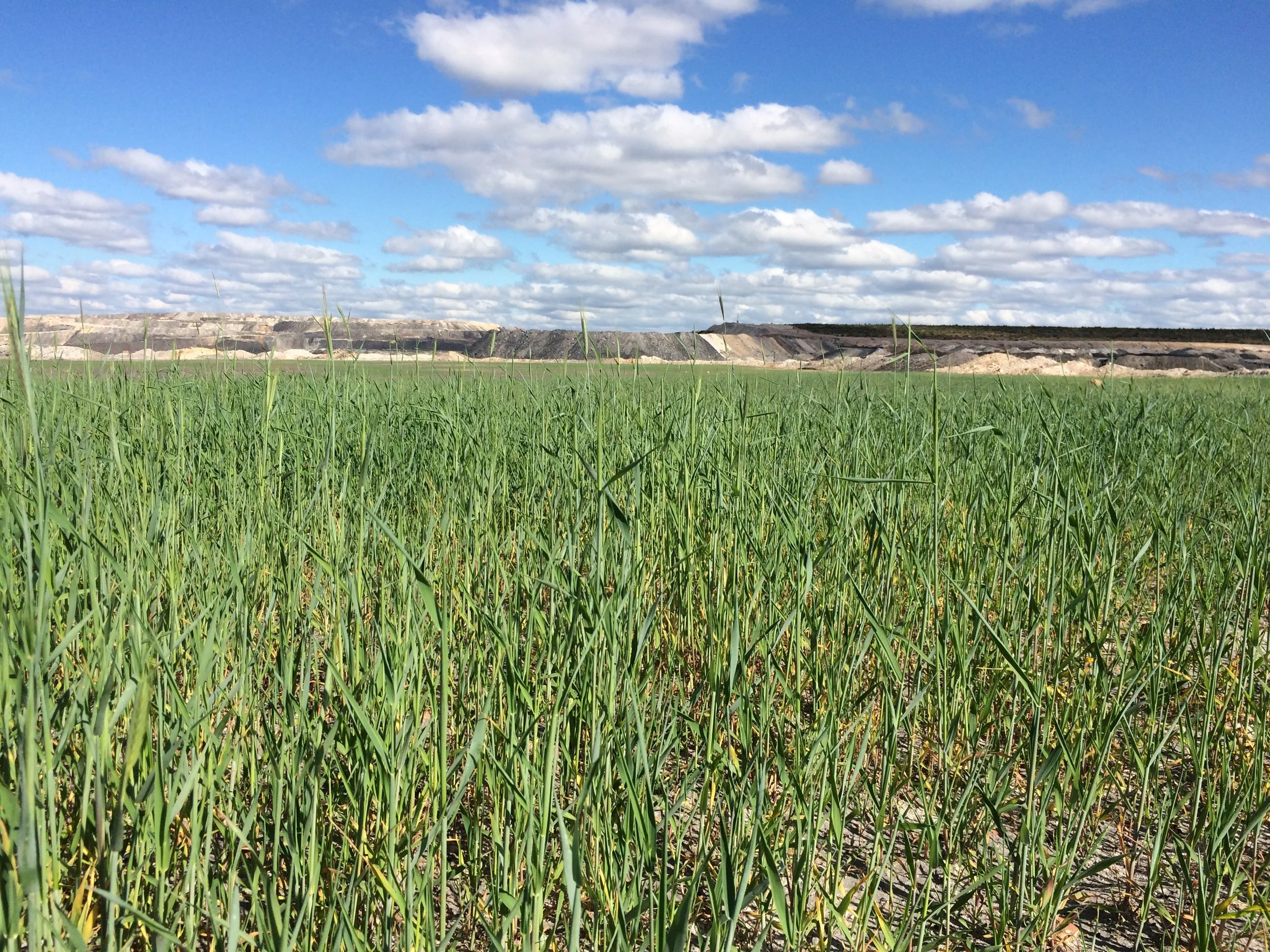
Precision seeding & spraying: Using heavy class UAV platforms, we target access constrained or sensitive areas (benches, batters, TSF shoulders, drain lines, exclusion zones) for efficient, site specific application ideal for the unique terrain and rehabilitation needs of Western Australian mine sites.
Mining rehab with Guidex & Trimble GPS: We utilise advanced Guidex and Trimble GPS systems for precise embankment rehabilitation and contouring. This ensures every application follows engineered designs and environmental requirements, delivering consistent results across complex mine landscapes in Collie and Western Australia.
Practical in-field knowledge: Years of hands on experience in the Western Australia and we understand the realities of embankment shaping, contouring and site logistics translating plans into practical, on ground outcomes for Western Australian mining operations.
Environmental stewardship baked in: Our workflows include no spray buffers, droplet control, weather thresholds and detailed records for audits and regulatory compliance this supports sustainable land management in Western Australia.
Operational reliability: Field ready power, transport and battery rotation workflows keep the aircraft flying and the program moving, even in remote or challenging conditions typical of Western Australia’s mining sectors.
Why this matters: better aerial data, targeted application and GPS guided rehab mean safer people, better outcomes on mining tenements and less waste. That’s been my commitment line from Sky VIZ to Eco Plant, through ACPH and now at Green Mines Australia serving Collie, the Southwest and all of Western Australia.