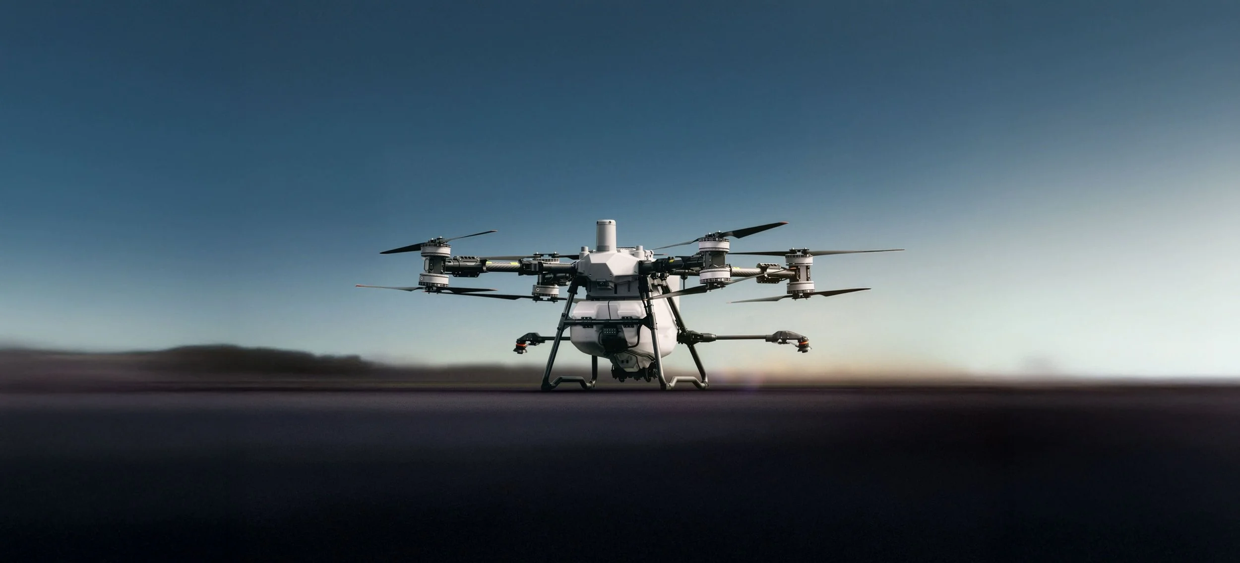
Drone Services
Green Mines Australia leverages cutting-edge drone technology to enhance mine site rehabilitation efforts. Our precision aerial seeding and targeted spraying services ensure efficient, safe, and consistent environmental solutions even in the most challenging terrains.
Explore our solutions
-
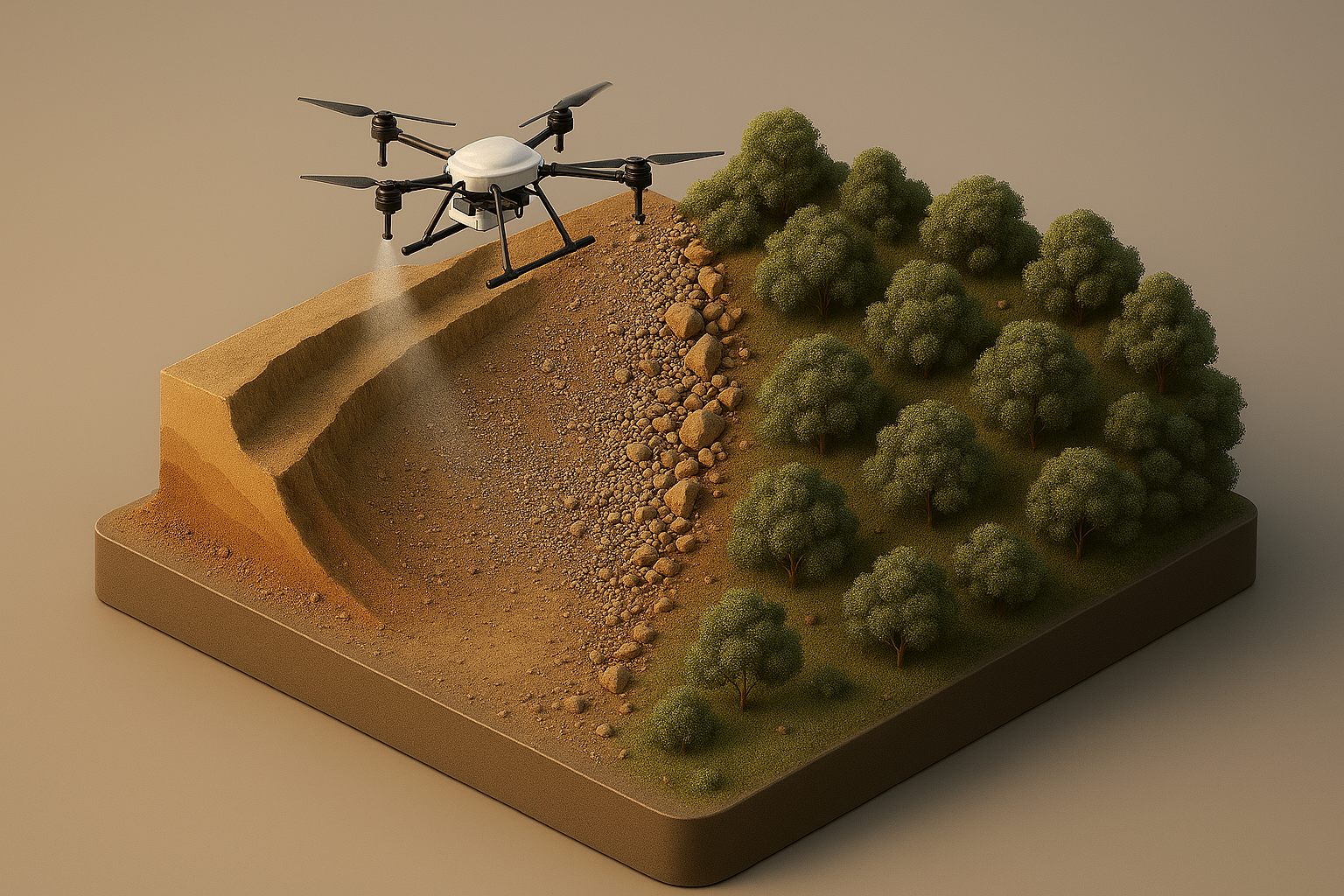
Precision Aerial Spraying
We apply fertilisers, soil conditioners and targeted weed treatments with controlled precision. This reduces labour, minimises drift and ensures safe, consistent application across complex or sensitive sites.
Every application is executed through our AVCRM workflow, ensuring full compliance and transparent record‑keeping.
This includes detailed spray logs, product usage data, environmental conditions, GPS‑tracked flight paths and calibrated application rates.Our targeted approach delivers consistent results across broadacre environments, environmentally sensitive zones, and hard‑to‑reach areas.
✔ Accurate product application
✔ Minimal disturbance
✔ Compliance‑ready documentation
✔ Data‑driven results -
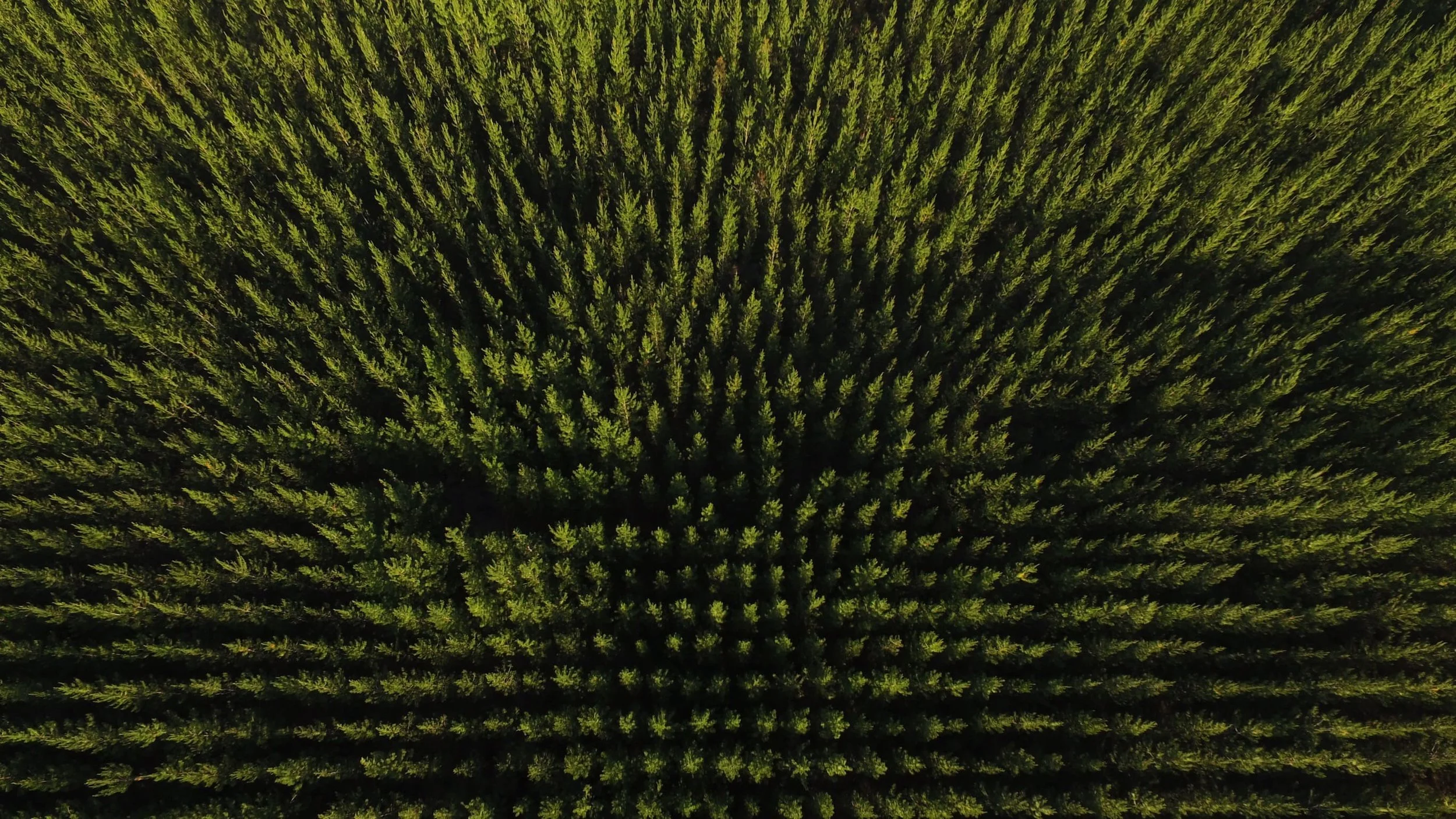
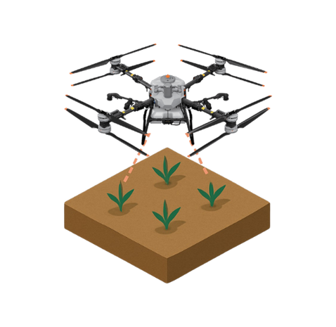
Targeted Aerial Seeding
Delivering seed and soil amendments with exceptional accuracy, ensuring uniform coverage across large, steep or inaccessible areas. This method supports rapid vegetation establishment, reduces ground disturbance and accelerates rehabilitation progress. Every application is executed through our AVCRM workflow, ensuring full compliance and transparent record‑keeping.
This includes detailed spray logs, product usage data, environmental conditions, GPS‑tracked flight paths and calibrated application rates.Our targeted approach delivers consistent results across broadacre environments, environmentally sensitive zones, and hard‑to‑reach areas.
✔ Accurate product application
✔ Minimal disturbance
✔ Compliance‑ready documentation
✔ Data‑driven results -
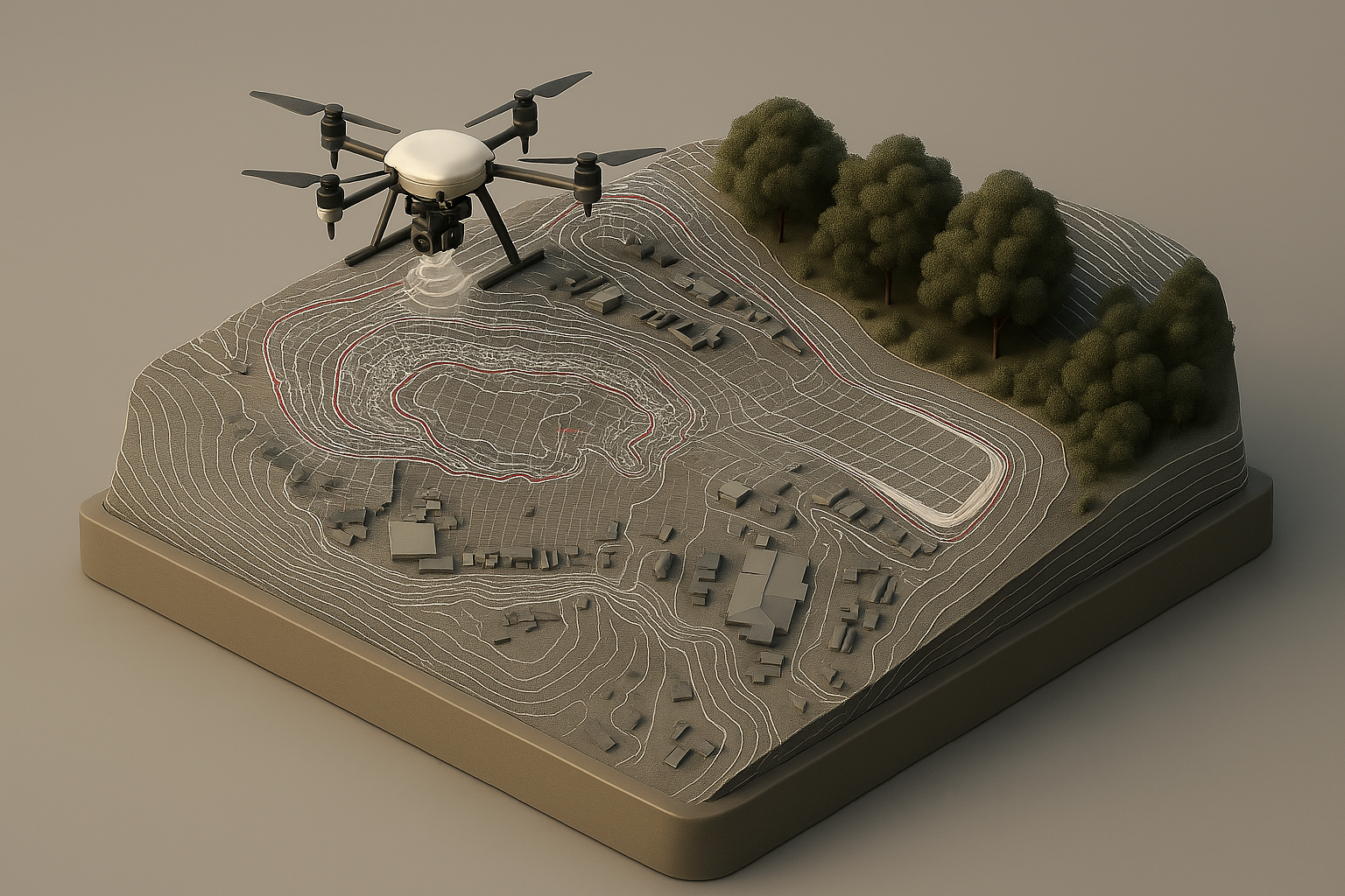
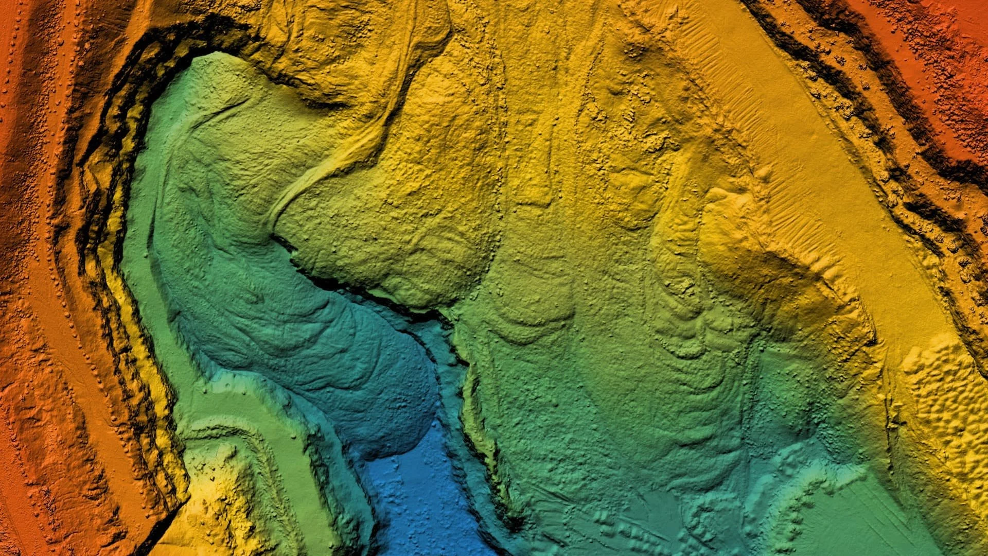
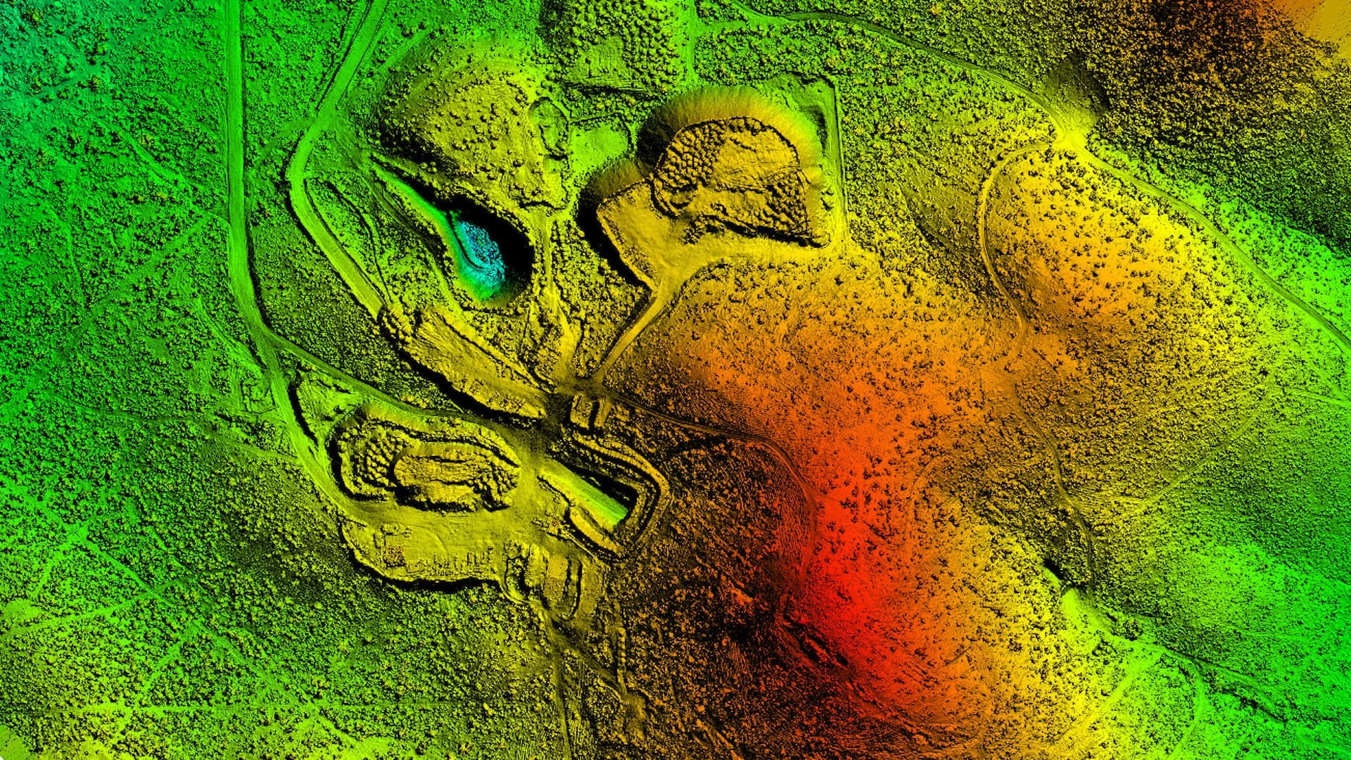
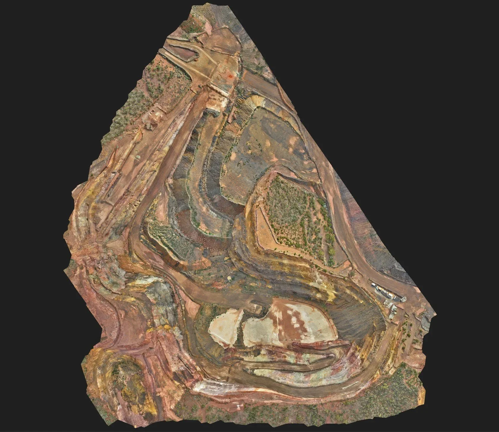
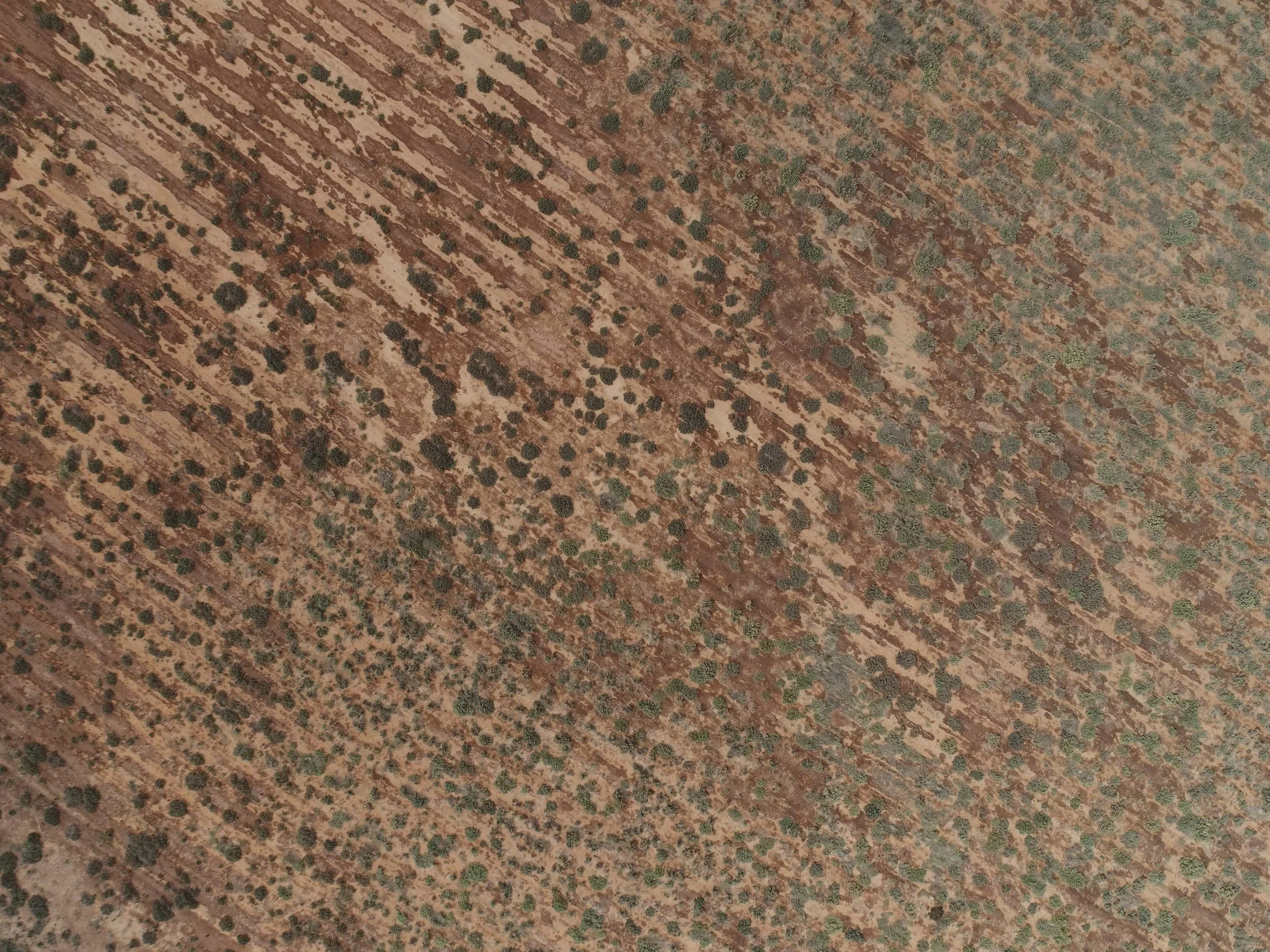
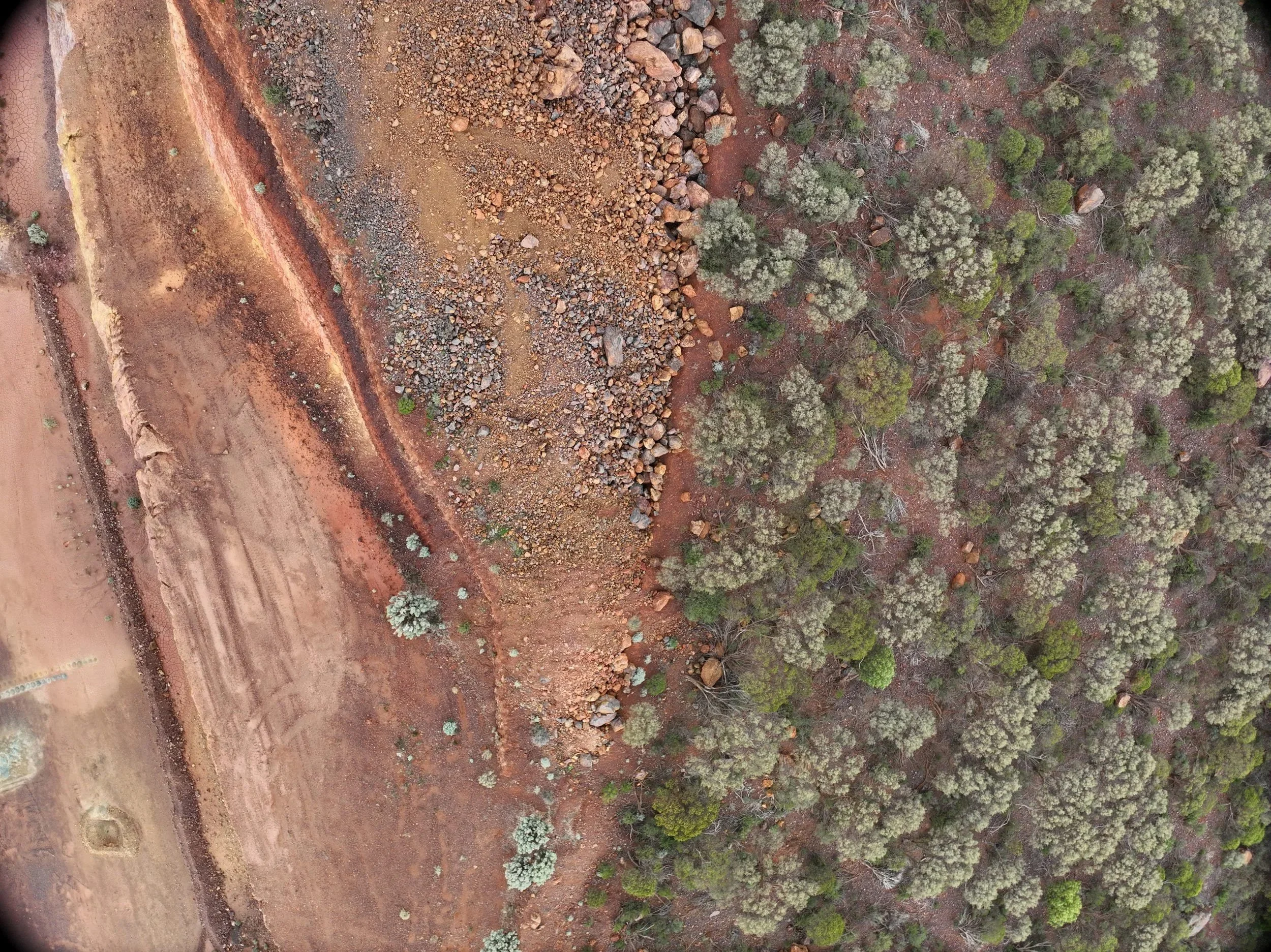
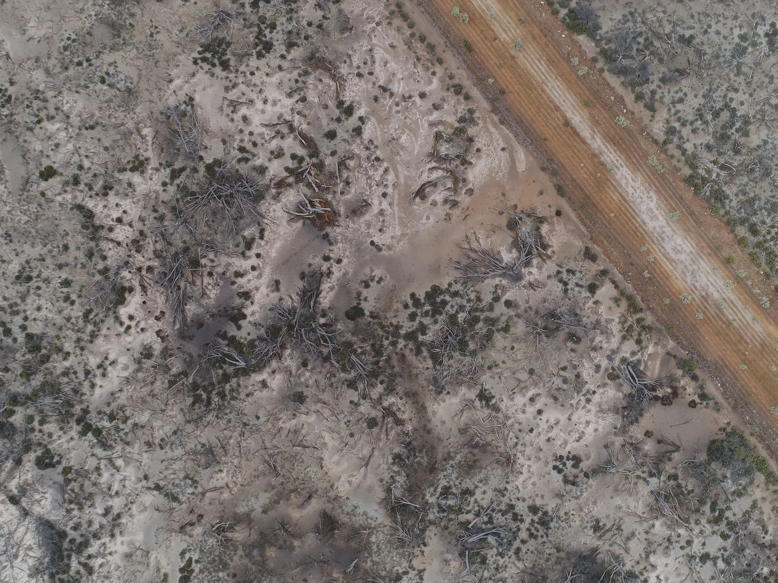
Survey Mapping
High‑resolution aerial mapping and data capture support our environmental monitoring, land assessment and project planning workflows. Through advanced drone surveys, we deliver accurate topographic models, vegetation analysis and change‑tracking reports that improve decision‑making and compliance management.
Using repeat UAV flights and ground‑based photography, we capture measurable changes in vegetation, ground cover and treatment effectiveness. All monitoring outputs are documented through AVCRM, ensuring full traceability and compliance from initial inspection to final reporting.
We provide clear, evidence‑based performance validation through:
Before‑and‑after imagery
Topographic and environmental change tracking
Vegetation establishment and growth metrics
Weed reduction indicators
Geo‑referenced comparison maps
AVCRM‑generated post‑operation and monitoring reports
Our monitoring program gives clients confidence that treatments are performing as intended and supports long‑term land management decisions.
✔ Transparent reporting
✔ Evidence‑based outcomes
✔ Long‑term progress tracking
✔ Reliable, compliance‑ready documentation

Our Process
-

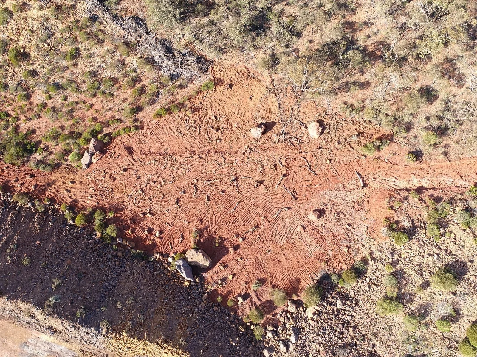
Pre Site Inspection
Initial assessment to understand terrain, access, and site conditions, ensuring safe and effective planning.
-

Drone Survey
Using advanced UAVs, we capture high-resolution 3D data to map the site accurately. This allows us to plan coverage zones and identify sensitive areas.
-

Profiled Solution
A tailored application plan designed from site data to ensure the most effective spraying or seeding outcome.
-
Targeted Spraying & Seeding
Precise aerial application of treatments and seed, delivering uniform coverage with minimal ground disturbance.
-

Monitoring Performance
Our drones apply targeted inputs such as fertilisers, soil enhancers, and probioticsat optimal intervals post-seeding to support healthy vegetation and long-term success.
Frequently Asked Questions
-
Green Mines Australia offers a combination of UAV-based services including aerial survey & mapping, UAV seeding and spraying, and vegetation monitoring / environmental monitoring. These services are used for mine site rehabilitation, land remediation, post-construction stabilisation, and ongoing site compliance monitoring.
-
The main advantages are:
Speed and efficiency — drone mapping can survey large or remote areas in hours instead of days or weeks.
Safety — drones allow data collection and seed/spray application in hazardous, unstable or difficult-to-access terrain, reducing the need to send personnel into dangerous zones.
Accuracy and data quality — drones produce high-resolution aerial imagery, orthomosaics, 3D terrain models, and other outputs (e.g. point clouds, NDVI/vegetation indices) that support precise planning, monitoring and compliance reporting.
Cost-effectiveness and minimal environmental impact — by using targeted seeding/spraying and avoiding heavy machinery over large or sensitive areas, drone services help reduce waste, soil disturbance and overall rehabilitation costs.
-
Clients receive deliverables such as:
Orthophotos and aerial imagery of the site (before/after)
Digital terrain/surface models, 3-D terrain/landform maps and point-clouds (useful for topography, drainage, stockpile management, rehabilitation design)
Vegetation and environmental monitoring reports — including data on vegetation health, germination success, soil/ground cover recovery over time, useful for compliance and rehabilitation performance tracking.
Precision application records (for seeding or spraying) — ensuring traceability, compliance with environmental standards (e.g. buffers, spray zones, droplet control) and efficient resource use.
-
The drone services are particularly valuable:
Immediately after land disturbance or mining/earthworks, to map the terrain, assess damage, and plan rehabilitation properly.
During rehabilitation/revegetation phases, when applying seed or soil amendments in difficult terrain, or when topsoil is absent or degraded.
For monitoring and compliance reporting — to track vegetation establishment, erosion, soil stability, drainage, and general environmental recovery over time.
For periodic assessments or audits — after heavy rainfall, slope instability events, or before/after major operations, to quickly verify site condition, detect issues, and support decision-making.
Drone Services Case Studies in Western Australia